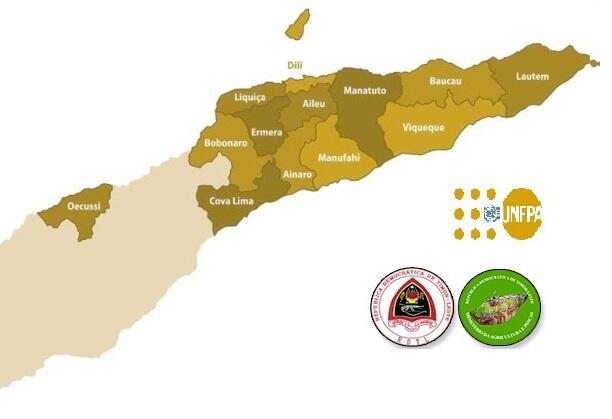
Seeds of Life, a programme within the Timor Leste Ministry of Agriculture and Fisheries (MAF) has just made over 1,800 maps of Timor-Leste available on its website - that's over 18GB of imagery!
The maps were created by Seeds of Life, the Ministry of Agriculture and Fisheries' mapping unit and the United Nations Population Fund (UNFPA) in Timor-Leste, and are free for the public to use, print and distribute.
A range of national, district, sub-district and suco maps are available including:
• aerial photo maps
• soil maps
• general maps
• population maps
• land use maps
• current and future rainfall and temperature maps
• water shed maps
• contour maps
Read Tetun version here.


